Report: Military Barriers Reshaping Palestinian Geography.. 925 Obstacles Restrict Movement
Amman4 min read
Share
An analytical report showed that military barriers, gates, closures, and roads in the occupied West Bank not only restrict the movement of Palestinians but also contribute to reshaping the geographical field, affecting access to work, education, healthcare, and agricultural lands, as well as the movement of goods, services, and economic activity.
The International Academic Campaign Against Israeli Occupation and Apartheid issued a report titled "Reshaping the Palestinian Field under the Israeli Apartheid System: A Study of Barriers and Roads in the West Bank," based on data from the United Nations Office for the Coordination of Humanitarian Affairs and legal, human rights, and academic reviews.
925 Obstacles to Movement
According to the report, the United Nations Office for the Coordination of Humanitarian Affairs documented until December 2025 about 925 permanent or intermittent obstacles to movement in the occupied West Bank, including East Jerusalem, affecting the movement of about 3.4 million Palestinians.
It pointed out that this number is 43% higher than the annual average recorded during the previous two decades, which was 647 obstacles.
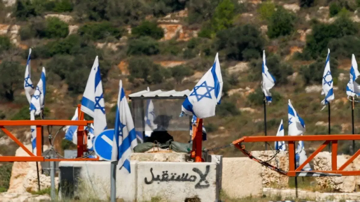
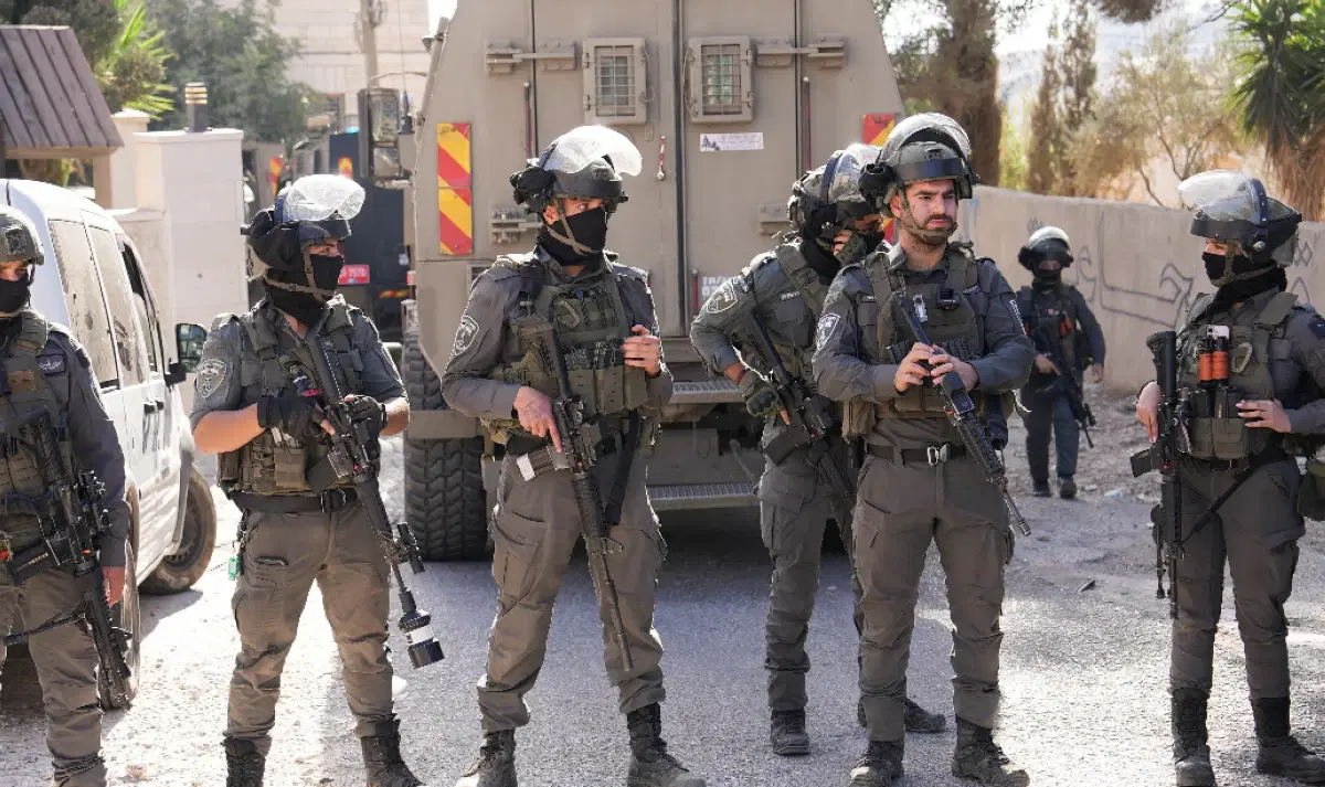
The obstacles, according to the report, include 89 manned checkpoints operating around the clock, 218 partial checkpoints, 232 road gates, 114 linear closures, 167 earth mounds, and 105 roadblocks.
A System Beyond Restricting Movement
The report said that the significance of these numbers is not only related to the number of obstacles but also to their transformation into fixed elements in the Palestinian field, affecting the details of daily life and access to workplaces, education, health services, and agricultural lands.
The report described this system as a "flexible infrastructure of control," explaining that an obstacle may perform a restrictive function even without permanent closure, if its opening is not guaranteed, requires prior coordination, or is subject to changing instructions.
It pointed to what it called the "economy of uncertainty," resulting from the difficulty in predicting the duration of trips or the possibility of passage, and the consequent increase in fuel consumption, loss of working hours, higher transportation costs, postponement of medical appointments, and the potential damage to some agricultural and food products.
Roads Reshaping Geographical Connectivity
The report addressed the areas of Jerusalem, Qalandia, Ramallah, Hizma, Jaba', the E1 area, Bethlehem, and Hebron as examples of the interplay between barriers, roads, the wall, settlements, and the permit system.
It pointed out that the accumulation of road projects, settlements, checkpoints, and the reorganization of land use in the Hizma-Jaba' and E1 area affects the nature of geographical connectivity between different regions of the occupied West Bank.
It also noted that Road 60, one of the main axes extending from the north to the south of the West Bank, is affected by a large number of movement obstacles, forcing Palestinians in some areas to take longer and more expensive routes.
Restrictions on Access to Agricultural Lands
According to the report, the restrictions are not limited to roads and urban areas but extend to agricultural lands.
The report said that about 20% of the documented obstacles hinder access to agricultural lands, while access to some lands between the wall and the Green Line requires permits or prior coordination through agricultural gates.
It pointed out that this affects the ability of Palestinians to organize agricultural work according to the needs of the land and the seasons, and makes access to them dependent on the opening times of the gates and permit procedures.
The report also linked the restrictions on movement to difficulties in accessing health and educational facilities, and their impact on the movement of goods, markets, and relations between villages and towns.
Legal and Spatial Dimensions
The report addressed the movement system in the context of the legal and human rights debate related to discrimination, separation, and regional control, based on the opinion of the International Court of Justice issued on July 19, 2024, regarding the legal effects of Israeli policies and practices in the occupied Palestinian territory, including East Jerusalem.
It also focused on the spatial and visual dimension of barriers, gates, walls, and earth mounds, considering them elements that have become present in the daily landscape, affecting the Palestinian's relationship with the place and the perceptions formed by new generations about roads, villages, cities, and land.
The report concluded that military barriers not only regulate the movement of Palestinians but also affect their relationship with the land, services, work, education, and healthcare, as well as agricultural and economic activity, and the shape of cities, villages, and spatial memory.
It emphasized that the study of this system requires considering the checkpoint within a broader network that includes roads, the wall, settlements, the permit system, and closures, as interconnected elements that affect the shaping of the Palestinian field.